
Hennepin County Neighbor Sources
Public records can describe the parcels surrounding an address, not a complete household roll. For Hennepin County neighbors, use the county map to identify adjoining parcels and their PIDs, then read each property result as labeled. Minneapolis adds an address-based property layer and a community-organization layer. Voter records and historical directories are separate sources with their own restrictions and time limits.
| Source | Block Result | Access |
|---|---|---|
| Hennepin Property Map | Adjoining parcel polygons, PID, streets, survey and section context | Interactive map, approximate and reference-only |
| County Property Information | Owner or taxpayer, mailing and situs fields, values, sales, taxes, and legal description | Address, PID, addition, or map search |
| Minneapolis Property Info | Owner or taxpayer, neighborhood, ward, permits, inspections, and parcel details | Free city address search |
| Voter public list | Eligible public fields for registered voters | Request only for registered Minnesota voters with photo ID |
| City and reverse directories | Past head-of-household or business addresses on the block | Hennepin County Library digital, print, or microfiche collections |
| Neighborhood organization map | Organization covering an address, public contacts, meetings, and plans | Minneapolis address-based directory, not a member roll |
These sources answer different questions. A property owner may not live at the parcel. A taxpayer mailing address may be a correspondence destination. A situs address is the physical parcel location. Even a homestead designation is corroboration, not proof of every person in a home. Keep the map result, property role, and any historical directory entry as separate facts.
Map Hennepin County Neighbor Parcels
Use Hennepin Property Map as a geographic starting point. Search the address, select its parcel, and zoom until adjoining parcel polygons and street labels are visible. The county describes its mapping products as approximate reference information, not a legal boundary or survey. The current documented material does not establish a live radius or buffer control, so do not promise a fixed distance around an address.
- Save the starting PID, situs address, legal description, and map date.
- Click each parcel that actually adjoins the selected polygon, rather than assuming neighboring street numbers are adjacent.
- Open each adjacent PID in county Property Information Search and record the owner or taxpayer role, mailing field, situs, parcel type, value, sales, and legal description.
- For a Minneapolis parcel, repeat the address in the city property tool for neighborhood, ward, permit, inspection, license, and flag details.
Corner lots can face two streets. Apartments and condominiums can sit within one parcel. Alleys, rail corridors, parks, waterways, and irregular lot lines can break a number sequence. For a full named-street record chain, use the Hennepin County street directory after the parcel-by-parcel pass.
Hennepin County Neighbors by Geometry
A block is a map set, not a fixed run of house numbers. The useful Hennepin County neighbors set comes from the selected parcel and its adjoining polygons. Preserve the map date because parcels can split, combine, or be replatted. The PID and legal description are more durable than an address when a street number changes or an older lot is replaced.
Insider tip: use the parcel boundary and visible intersections to define the block. Do not invent a radius, treat the next ten numbers as the block, or presume every parcel fronts the same street. The county's Property Map, surveyed-property pages, and historic and current section maps can provide context, but their map disclaimers still apply.
Hennepin County Neighbor Property Fields
The county property result starts with address, 13-digit PID, addition name, or map selection. It can show owner, parcel or situs address, PID, Abstract or Torrens status, sale price and date, assessment and payable year, property type, homestead status, market value, and tax total. For Hennepin County neighbors, those fields identify the parcel record, but they do not establish every current occupant.
The terms need careful reading. The situs is the physical parcel address used for map, permit, and inspection work. The taxpayer mailing address is where tax correspondence goes and may describe a trust, organization, relative, or another place. A legal description uses lot, block, addition, metes and bounds, or related title language to identify land. A homestead field is only supporting evidence of owner or qualifying-relative occupancy.
- PID
- Hennepin County's 13-digit property identifier, a stable key for linking a parcel result to related records.
- Situs address
- The physical location of the parcel, used for maps, permits, inspections, and address searching.
- Taxpayer mailing address
- The destination for tax correspondence. It is not a statement that the taxpayer lives at the parcel.
- Legal description
- The lot, block, addition, metes-and-bounds, or related title description that identifies the land.
Minneapolis Property Information adds city-specific address details such as neighborhood, ward, valuation, lot information, sales, licenses, inspections, lead status, energy status, and parcel flags.
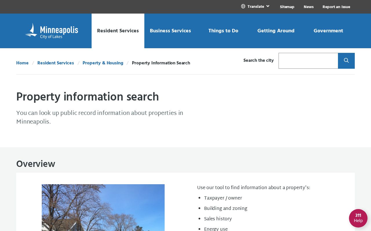
The Minneapolis layer is especially useful for a city address, while the county PID and legal description maintain the county parcel connection.
Hennepin County Neighbors Voter Limits
A voter public-information list is not an anonymous street or map search for Hennepin County neighbors. Hennepin requires a registered Minnesota voter and photo identification for voter-data requests through the county's Data Request Portal. Minn. Stat. §201.091 governs the public list, which can include registered name, residence address, year of birth, voting history, districts, and phone if supplied. It does not provide ballot choices, a full date of birth, or every person at an address.
Safe at Home, withholding, inactivation, and master-list limits mean that a block result is necessarily incomplete. The state status workflow and the full-list request are separate routes. For a written question, Hennepin Elections lists hc.vote@hennepin.us, 612-348-5151, and fax 612-348-2151; current office details should be verified before a visit.
Hennepin's voter-data and privacy guidance explains the request and identification requirements.
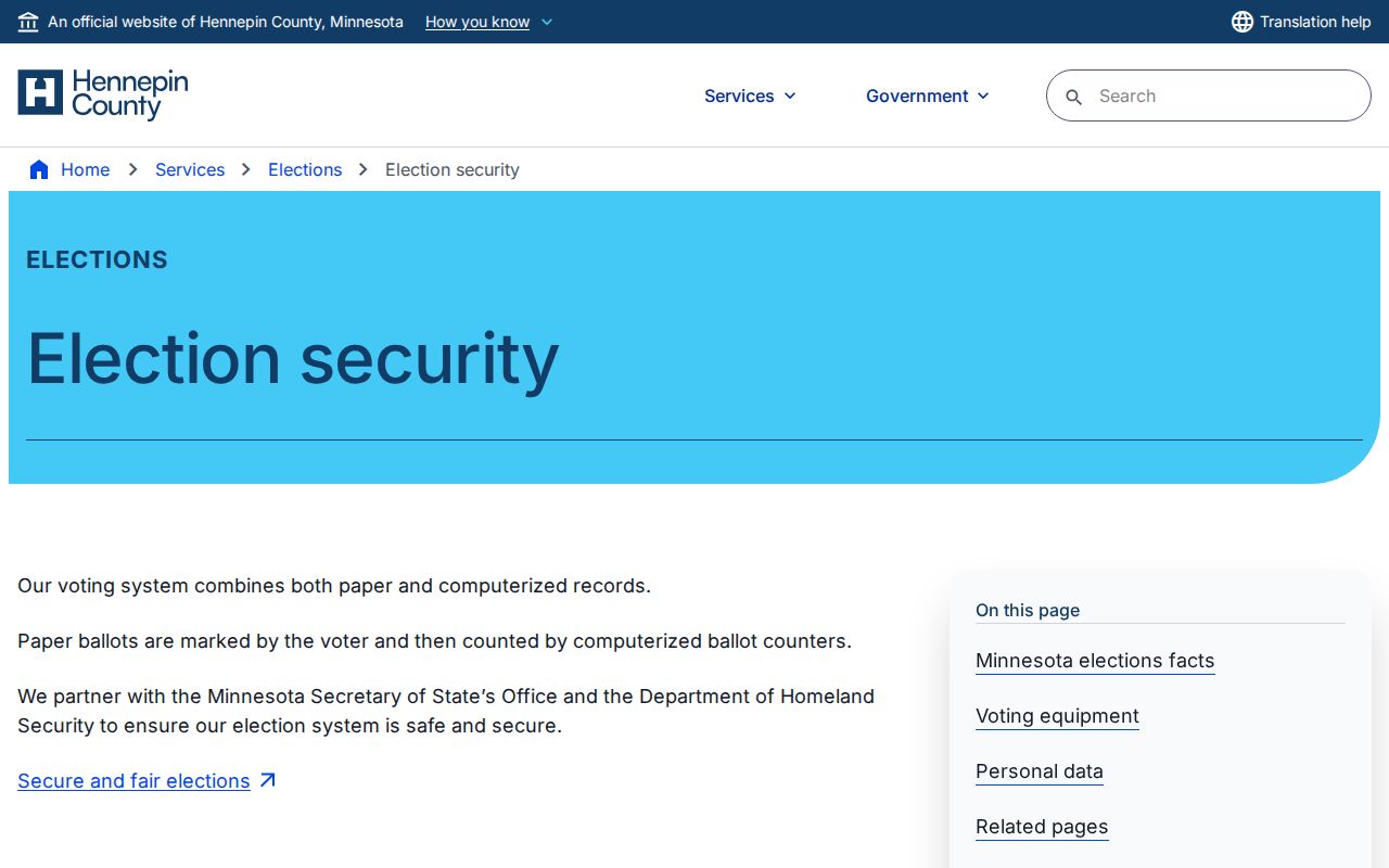
Use the county process for the statutorily available list, and do not turn a parcel map into an assumed voter roster.
Hennepin County Neighbor Community Map
For a Minneapolis address, the Neighborhood Organization Details tool gives the public community layer that a parcel record does not. The address-based result can provide an organization website, public contacts, board meeting schedule, assigned city staff, demographic data, reports, plans, bylaws, and financial information. It identifies the organization that covers the address, not the people who belong to it.
Myth: an organization directory is not a member directory. A public board contact, meeting time, or neighborhood plan creates a route for community contact. It does not disclose households, private member lists, or who attends a meeting. The Minneapolis neighborhood directory is therefore a better source for the block's civic context than a claimed roster of neighbors.
The City of Minneapolis neighborhood-organization search shows the address-based path to those public details.
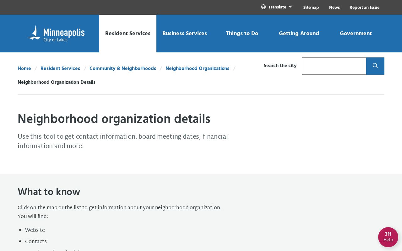
The city directory keeps the result focused on public organization information, rather than on private membership or residence claims.
Hennepin County Neighbor Organizations
Minneapolis maintains public organization details for many neighborhoods. Examples in the current city directory include Bancroft Neighborhood Association, East Bank Neighborhoods Partnership, North Loop, Nokomis East, Prospect Park/East River Road, Seward, and Standish Ericsson. The public directory is the right place to check a board contact, meeting schedule, bylaws, plans, or city staff connection. It is not evidence that a particular household is a member.
| Community record | What the public directory can provide |
|---|---|
| Neighborhood organization | Public contacts, website, board meetings, bylaws, plans, and financial links |
| Business or civic association | Organization contacts, events, and public commercial-corridor information |
| Faith or block group | Custodian-specific public contact route, not a countywide member roster |
The boundary itself can change. Southeast Como was the official organization for Como and Mid-City Industrial from 1983 until the East Bank Neighborhoods Partnership change in 2024. Confirm the current organization by address before relying on an older neighborhood label.
Hennepin County Historical Neighbors
When the question is who was near an address in an earlier era, move from current GIS to Hennepin County Library Digital Collections, the closest census, newspapers, permits, and maps. The library's reverse and criss-cross directories support an address keyword search and reverse lookup. Search the exact street number with a normalized street name, then try abbreviations, directional variants, old names, and nearby pages when OCR misses a number.
A historical directory generally lists the head of household rather than every person in a home. Pair it with census records for children, boarders, and other household members, and use permits or Sanborn maps to verify that the building has continuity. A demolished structure, parcel split, or changed street number means a current polygon is only the starting point for historical Hennepin County neighbors research.
Note: Older address research is strongest when the directory year, census, permit, plat, and parcel history point to the same place.
Hennepin County Neighbor Tools Compared
Official sources and commercial neighbor tools serve different purposes. County and city records identify the custodian, fields, date, and stated access limit. Commercial tools combine public-record matches, marketing data, older addresses, and other purchased information. That category can be stale, duplicated, or assigned to the wrong person, and it cannot override a protected address or a private household record.
| Source category | Best use | Key limit |
|---|---|---|
| County or city parcel records | Parcel ownership or taxpayer fields, PID, situs, legal description, and dated property context | Owner or taxpayer is not necessarily an occupant |
| Community organization directory | Public organization contact, meeting, plan, or boundary information | Not a membership or household list |
| Commercial neighbor tools | A category of leads to verify with a custodian | May be incomplete, stale, duplicated, or wrong |
If a commercial profile is incorrect, follow that provider's removal path and seek a correction from the underlying public-record custodian when the source record itself is wrong.
Hennepin County Neighbor Privacy
Private association member lists, renters, household members, utility customers, delivery data, motor-vehicle information, protected court and vital fields, and Safe at Home real addresses remain outside an ordinary neighbor search. Minnesota Safe at Home assigns a public PO Box and unique lot number while the participant's physical location remains confidential, subject only to narrow court-order or emergency channels. Do not suggest that ordinary public records can be combined to identify a protected address.
Minnesota Safe at Home explains the assigned-address program and its application-assistant path for people with extreme safety needs.
The program's public address is the contact route. It is not an invitation to locate the person behind it.
Lawful use. Use Hennepin County neighbors records for lawful personal, civic, family-history, or safety research. Do not use public information to stalk, harass, intimidate, or expose another person.
Minnesota's Chapter 13 rules require a focused request for existing public data from the proper custodian. They do not require an agency to create a new directory of people at an address. Ask the record keeper about a correction or statutory redaction when a record needs review.