
Walk a Hennepin County Street
A Hennepin County street search starts at one civic address, then moves across records that use different keys. The Property Information Search is the first stop because it accepts an address, a 13-digit PID, an addition name, or an interactive-map selection. Preserve the resulting situs address, PID, legal description, owner or taxpayer field, and sale information before moving on. Those fields make it possible to check a parcel without treating a tax record as a list of everyone who lives there.
For a longer street, repeat the process parcel by parcel or use the map to select adjoining parcels. Hennepin does not document a one-click street export, and the Recorder's access rules prohibit multiple-parcel extraction. A street directory therefore works as a careful address trail, not a bulk roster. Older household evidence belongs in reverse directories; current registered-voter information has a separate lawful request route.
- Enter the address in the county property search and save the PID, situs, legal description, and taxpayer field exactly as displayed.
- Open the parcel in the Property Map or section-map viewer, then select adjoining polygons instead of assuming consecutive numbers are adjoining lots.
- Use the legal description or current owner to locate the newest recorded deed, keeping the document number and recording date.
- For a lawful voter-data need, use Hennepin Elections' request route rather than expecting an anonymous street browse.
- For earlier households, search Hennepin County Library address directories with street abbreviations, directional variants, and nearby pages.
Corner lots, alleys, apartments, and parcel splits can break a numerical run. A street-by-street review should follow parcel geometry and record keys, not an assumed sequence of door numbers.
Hennepin County Street Directory Fields
The county's property result is useful because it joins the street address to parcel data. It can show current and prior taxes, assessment values, parcel description, sales, and the taxpayer or owner fields. It does not document owner name as a public web search mode. Begin with an address, PID, addition, or map selection instead. For addresses in Bloomington, Brooklyn Park, Eden Prairie, Minneapolis, Minnetonka, or St. Louis Park, the city assessor may control the assessment work.
| County property field | Input or result | Street-search use |
|---|---|---|
| Property address | Search input | Starts a parcel result for a known street number. |
| Property ID number | 13-digit search input | Stable parcel key from a tax or assessment statement. |
| Addition name | Search input | Connects a plat's subdivision language to the parcel. |
| Interactive map | Map-click search path | Locates a parcel when the civic address is uncertain. |
| Taxpayer and mailing address | Result field | Identifies tax correspondence, not a guaranteed home address. |
| Situs, value, tax, sale, and legal description | Result fields | Connect the physical parcel to map, permit, and deed research. |
The county assessment page documents separate municipal contacts as well as county assessment support. That split matters when a street crosses city systems or a local assessor controls a correction. Note: A homestead classification supports an owner or qualifying relative's primary-residence claim, but it does not identify every household member.
See the county's assessment information before asking which assessment office maintains a particular parcel.
The Hennepin assessment page shows the county and municipal assessment context used for a by-address review.
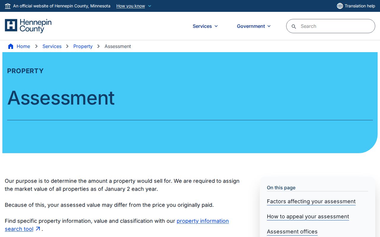
Use the jurisdiction information to identify the right assessor contact before treating a county result as the only assessment source for a street.
Hennepin County Street Directory Maps
Maps make a street directory spatial. The county property maps and data page links parcel, section, historic-map, and survey resources. The Property Map displays ownership and use context, while the historic/current section-map viewer accepts an address and links current parcel maps, historic parcel maps, section sheets, and GLO material. These products are reference tools. County disclaimers say they are not a legal survey and do not warrant completeness or accuracy.
Select the starting parcel, record its PID, then use the visible parcel shape and street labels to choose the next parcel. The surveyed-properties viewer covers the county and links a surveyed property to its data sheet. It is maintained monthly; the historic/current section maps are maintained weekly. Exact map controls can change, so do not rely on an unverified radius or buffer function.
The property-map resources collect the county's parcel, survey, and historic section-map routes.
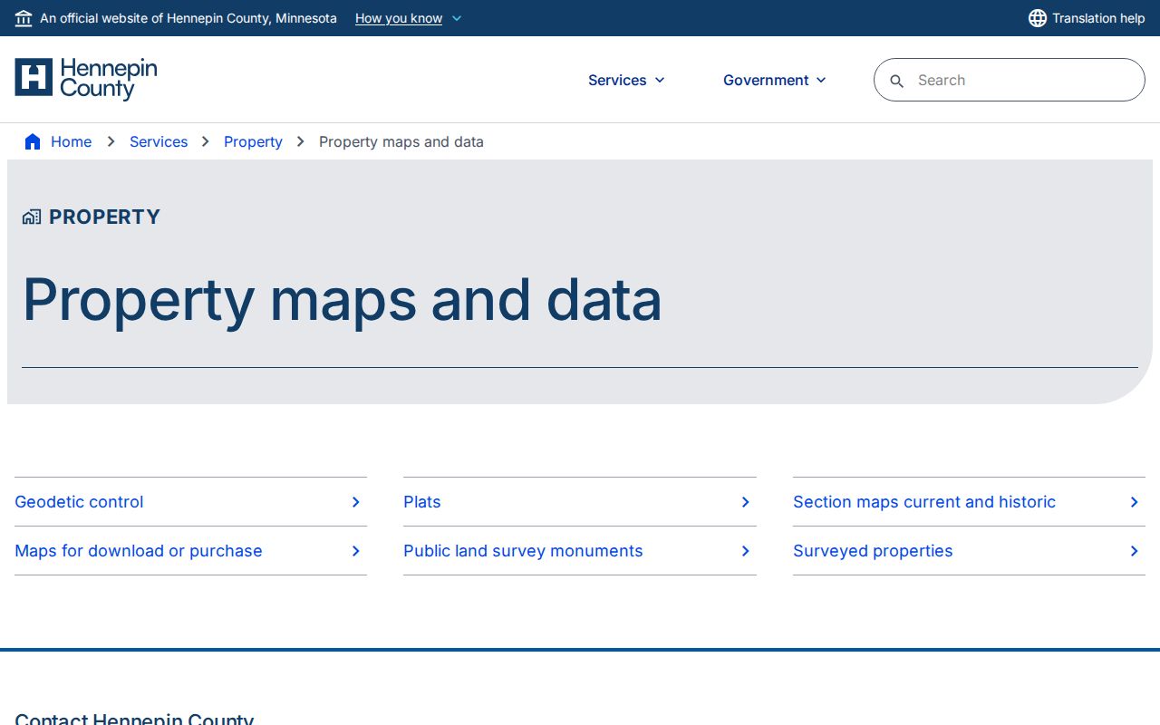
Section sheets and parcel maps help resolve street placement, but a surveyor or recorder remains the proper source for a legal boundary question.
The surveyed-properties viewer is the county route for a parcel's related survey data sheet.
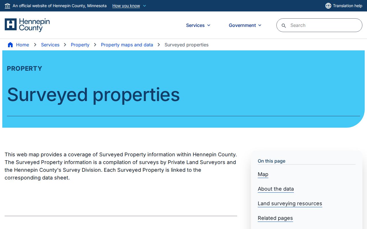
The survey view can support a parcel comparison along a Hennepin County street without turning an approximate map into a title determination.
Hennepin County Address Terms
A street result may carry several addresses and identifiers. Keeping them separate avoids a common error: the parcel's physical location and the address for tax mail can be far apart. A business, trust, tax service, or owner may receive tax mail without living at the situs. Likewise, a deed's instruction for tax statements is correspondence information, not proof of present occupancy.
- Parcel
- A defined unit of land in the county tax and map system, commonly reached by street address or PID.
- Situs address
- The physical property address used for maps, permits, inspections, and by-address parcel searching.
- PID
- The 13-digit Property ID number used in the county tax and assessment search as a durable parcel key.
- Legal description
- The title description, often addition, lot, and block or metes-and-bounds language, that links a parcel to recorded instruments.
- Plat
- A recorded map that lays out lots, blocks, additions, and streets, useful when a parcel was divided or combined.
- Criss-cross directory
- An address-oriented directory that can point to a historical householder or business, usually without listing every person in the household.
For older work, the legal description is often more stable than a postal label. Preserve both fields, plus Abstract or Torrens status if the county result supplies it. This is especially helpful when a street number, parcel shape, or subdivision has changed.
Hennepin County Street Deed Chain
After the property search supplies a PID and legal description, the next link is the RecordEASE Public Search. The free public layer is limited index access. A deed trail is built by locating the current owner as grantee in the latest conveyance, saving the document number, date, instrument type, and legal description, then searching the seller as an earlier grantee. Repeat the alternating grantor and grantee pattern, checking the legal description at every handoff.
Recorded entries can identify party names, document type, recording date, document or index number, and property placement. The parcel may be Abstract or Torrens. A Torrens Certificate of Title can state the owner, legal description, encumbrances, liens, and interests. The county's recent-recording-history link covers only the last five years and may be incomplete during recording-status or legal-description transitions. It is not a complete title chain.
The RecordEASE public index is the entry point for the recorded-document trail.
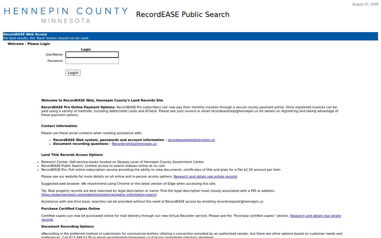
A document number and legal description from the index give the researcher a repeatable way to request or compare a deed.
The county's RecordEASE subscription information describes the paid document-image access path.
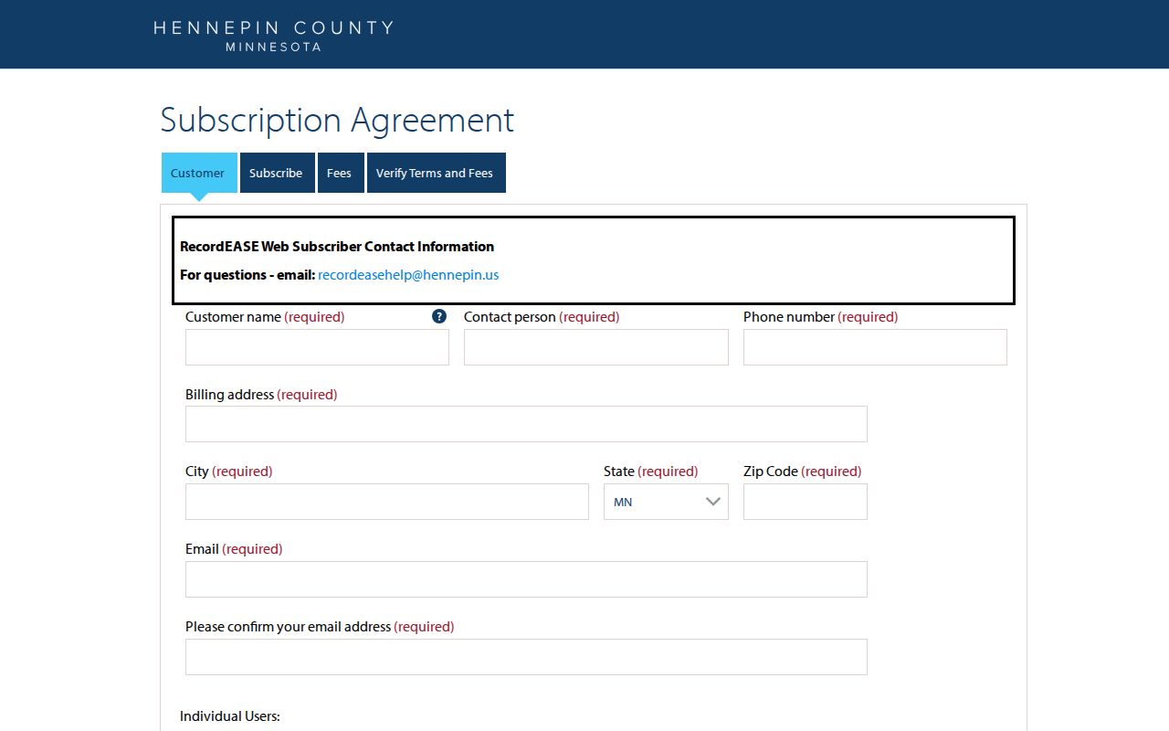
RecordEASE Pro has no monthly search fee, while images, certificates, and plats cost $2.50 per item under the recorded subscription terms.
Hennepin County Street Permits
Street records can also date the building rather than identify a resident. For Minneapolis, permit index cards cover 1884 through 1973, index records cover 1974 through 1989, and building or wrecking permit scope reaches from 1884 forward. Hennepin County Library's home-research materials pair those sources with directories, plat books, Sanborn maps, photographs, and the property map. A permit can document construction, alteration, remodeling, demolition, an architect, or a contractor. It does not establish who occupied the building.
When a deed chain shows a parcel split, combination, or metes-and-bounds change, compare the earlier plat and predecessor parcel before assigning an old address to a current building. Sanborn maps can add building footprint, stories, materials, lot lines, and use, but not a resident name.
The Minneapolis property-research hub is a city route for permit and address history.
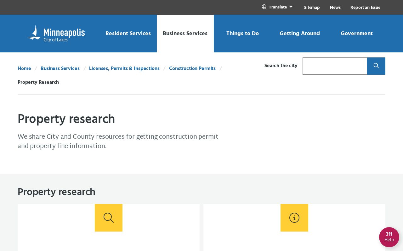
Permit evidence becomes stronger when its address, parcel history, and closest directory year point to the same building history.
Hennepin County Street Voter Access
Minnesota voter information is not an anonymous street directory. Hennepin Elections directs public-list requests through the county Data Request Portal. The requester must be a registered Minnesota voter and provide photo identification. Under Minnesota Statutes section 201.091, the public information list can include name, address, year of birth, voting history, districts, and a telephone number if provided. Presidential-nomination primary party choice is excluded.
The state status tool and a public-list request are different routes. A list request does not guarantee a complete household list, and the master list is more restricted. Safe at Home participants, voters who request withholding, inactive records, and other statutory limits mean an address may not appear. Use each returned field for the narrow purpose the law allows, and keep a record of the request date and source.
Hennepin County Street Past Listings
Hennepin County Library adds the historical address layer. Its Digital Collections can be searched by an exact OCR string and can support reverse address research. Minneapolis directories begin in 1859, and the wider collection includes digitized suburban runs, later print or microfiche, phone books, maps, yearbooks, and local-history material. Address searches work best with street abbreviations, directional forms, old names, and a review of neighboring pages when OCR misses a number.
Directory entries tend to favor a head of household or a business address. They should not be read as a full household census. Pair a directory year with the closest census, newspaper, permit card, or deed when a name has to be tied to a period at the address. The historical volumes themselves are handled in more depth in the Hennepin County city directories.
Note: An exact digital-directory search can miss a valid entry when the scan's text recognition confuses a street number, directional letter, or abbreviation.
Hennepin County Street Research Desk
Insider tip. The remote RecordEASE index is intentionally limited. The stronger fallback for a legal-description or individual/entity-name search is the Recorder/Registrar research center's public computers on the Skyway level of the Hennepin Government Center, northwest of the information desk in room SK-0353. The county lists research-center hours as 8 a.m. to 4:30 p.m., Monday through Friday, excluding holidays. Confirm hours before visiting.
Staff recommend using the legal description or an individual or entity name obtained from the PID or address result. Noncertified document and certificate copies by mail are $1 per page, while certified documents are $10; a registered Virtual Recorder request has its own service fees. A property owner can request a free electronic deed or certificate copy by email. These access paths are useful when a limited web index does not answer a narrow document question.
Hennepin County Street Record Coverage
Each Hennepin County street record answers a different question. Property and map sources establish the parcel. Recorder records establish a documented transaction trail. Permits can date work at a building, and historical directories can place a named householder at an address. None replaces the others, especially where the question is current occupancy rather than ownership.
| Address-keyed record | Custodian | Useful street evidence | Access path |
|---|---|---|---|
| Tax and assessment record | County Taxpayer Services or six city assessors | Owner or taxpayer, mailing address, situs, PID, taxes, values, sales, classification | County or city search, counter, phone, or data request |
| Parcel and survey map | Hennepin GIS and Survey Division | Parcel polygons, street placement, survey links, historic and current section maps | Free interactive maps, reference only |
| Deed, mortgage, lien, or plat | Recorder/Registrar of Titles | Grantor, grantee, dates, instrument number, legal description, recorded images | Limited free index, Pro item access, kiosk, mail, or certified copy |
| Permit or code record | Minneapolis or the relevant city | Construction, demolition, inspection, license, or condition evidence | City dashboard, kiosk, 311, or city-specific request |
| Public voter information list | Hennepin Elections | Eligible public fields for registered voters, subject to statutory protections | Registered Minnesota voter request with photo ID |
| Reverse directory | Hennepin County Library, MNHS, or museum holdings | Historical householder or business at an address | Digital, print, microfiche, archive, or staff-help route |
A PID and legal description hold the chain together when a street label alone becomes ambiguous. The street name remains useful for map browsing and historical directory search, but it is not a unique title key.
Hennepin County Street Limits
A Hennepin County street directory cannot establish every person at an address. Tax ownership is not a guaranteed current occupant, and a taxpayer mailing address is not the situs. Renters, children, roommates, guests, utility customers, delivery records, and private-account holders are not public street rolls. Driver data is restricted by the Driver's Privacy Protection Act and Minnesota law. A court non-hit also does not show that a person has no case, because party addresses and some case types are not available remotely.
Protected information is protected for a reason. Safe at Home uses an assigned post-office-box or lot address in public records while the participant's actual address remains confidential. Withheld or inactive voter records, confidential vital records, adoption material, and private court data must not be reconstructed from ordinary parcel or street records.
Lawful use. Use Hennepin County address records for a legitimate personal, civic, or historical purpose, and never use them to stalk, harass, intimidate, or expose a protected person.