
Hennepin County ZIP Code Coverage
Hennepin County has shared suburban ZIP areas, Minneapolis postal ranges, airport and institutional associations, and ZIPs whose postal geography reaches into neighboring counties. The Minnesota Department of Human Services city and county listing supplies documented city-to-ZIP relationships, not parcel boundaries. The table selects documented coverage patterns that are useful when beginning a ZIP code directory search. USPS must verify the current city or post-office result for every specific ZIP and address.
| ZIP Code | Areas Covered | Post Office | Notes |
|---|---|---|---|
| 55305 | Hopkins, Minnetonka | Verify with USPS | Shared municipal postal area. |
| 55311 | Maple Grove, Osseo | Verify with USPS | Shared postal area. |
| 55331 | Deephaven, Excelsior, Greenwood, Minnetrista, Orono, Shorewood | Verify with USPS | Western lake-community area. |
| 55343 | Eden Prairie, Edina, Hopkins, Minnetonka | Verify with USPS | ZIP is not a municipal boundary. |
| 55345 | Eden Prairie, Hopkins, Minnetonka | Verify with USPS | Shared postal area. |
| 55359 | Independence, Maple Plain, Medina, Minnetrista, Orono | Verify with USPS | Shared lake and rural area. |
| 55364 | Minnetrista, Mound, Orono, Shorewood | Verify with USPS | Shared lake area. |
| 55416 | Edina, Golden Valley, St. Louis Park | Verify with USPS | Shared boundary ZIP. |
| 55428 | Brooklyn Center, Brooklyn Park, Crystal, New Hope | Verify with USPS | Shared postal area. |
| 55429 | Brooklyn Center, Brooklyn Park, Crystal | Verify with USPS | Shared postal area. |
| 55441 | Medicine Lake, Plymouth | Verify with USPS | Shared area. |
| 55401–55488 | Minneapolis range in the state listing | Verify each ZIP with USPS | Not every number is an active residential delivery area. |
The state listing also contains special or extended postal entries, including airport, PO-box, and unique-use associations. For example, the Minneapolis range includes codes that may be institutional, downtown, or PO-box oriented. A county association in the table never makes an entire ZIP wholly Hennepin County.
The Minnesota city, county, and ZIP listing is the official source for the documented city associations summarized here.
The state association table is a starting point for ZIP research, while USPS supplies the current postal result for a live address.
Hennepin County ZIP Delivery Areas
A ZIP code is a postal delivery construct. It is not the same thing as a city limit, county line, school district, ward, precinct, parcel, or legal description. Hennepin's 45-city geography makes the difference especially visible. One address can carry a Minneapolis postal city, sit in a suburban municipal jurisdiction, and have a county PID that is the more stable property identifier.
Keep four columns in a research note: USPS standardized address, municipal jurisdiction, Hennepin County PID, and parcel-map result. The mailing city alone can be misleading. The county's historic/current maps and municipal address tools are useful after the ZIP has been checked, but they do not replace USPS delivery verification.
Search a Hennepin County ZIP
The county property search does not document a ZIP filter. Its public paths are address, PID, addition name, and map. Minneapolis Property Info is also address-first. Do not expect a ZIP-wide county resident result from either system. Instead, use a verified address in the ZIP, then search that address or parcel. The result can supply property, tax, assessment, sale, and legal-description fields that give the next record search a dependable key.
- Use USPS to verify a city-and-state or full-address result and retain the standardized ZIP or ZIP+4.
- Enter the confirmed address in Hennepin County Property Information Search, or select the parcel on the county map.
- Record the PID, legal description, situs, and taxpayer field rather than treating the ZIP as a parcel identifier.
- Check the municipal jurisdiction for local permit or assessment records when the parcel lies in a city with its own office.
- For public voter information, follow the separate Hennepin request route and its registered-voter and photo-ID requirements.
Once a ZIP is narrowed to an exact address, the Hennepin County street directory provides the parcel-by-parcel record trail. A ZIP helps sort postal geography; the PID and legal description carry an ownership or deed inquiry forward.
The county property-search page documents the address, PID, addition, and interactive-map starting paths.
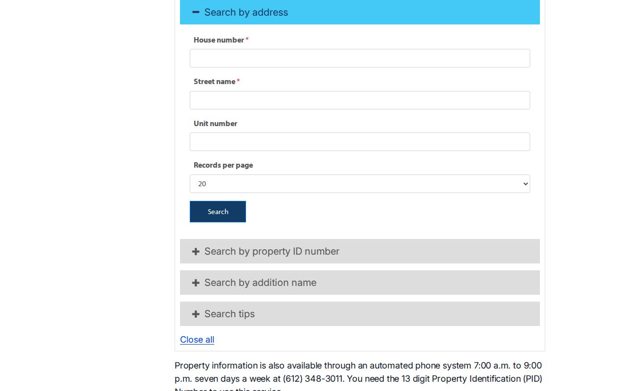
The property interface is useful after postal verification, but its documented controls are not a ZIP filter.
Hennepin County USPS ZIP Check
USPS is the right layer for current postal formatting. Its lookup tools distinguish a full-address result, a city-and-state ZIP list, and recognized or recommended city names for a ZIP. The search fields below reflect those documented lookup modes. They do not turn the postal system into a people directory.
| USPS lookup mode | Input documented by the mode | Useful result |
|---|---|---|
| By Address | Address | A standardized delivery result, including ZIP+4 where USPS returns it. |
| By City and State | City and state | Current ZIPs USPS associates with that city and state. |
| Cities by ZIP | ZIP code | USPS-recognized or recommended city names for that ZIP. |
The USPS post-office finder by ZIP is an additional official postal reference for historical post-office research.
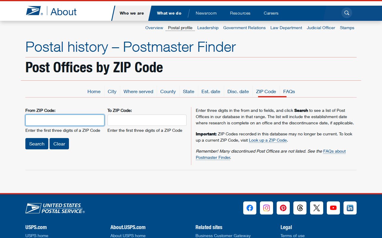
Use a postal reference to check delivery naming, then return to the county parcel and municipal records for jurisdiction-specific facts.
Hennepin County ZIP City Mismatches
Hennepin examples show why a postal city cannot settle jurisdiction. Edina shares 55343 with Eden Prairie, Hopkins, and Minnetonka, and it shares 55416, 55424, and 55436 with St. Louis Park. Brooklyn Center, Brooklyn Park, Crystal, and New Hope share 55428; Brooklyn Center, Brooklyn Park, and Crystal share 55429. St. Anthony has 55418 and 55421 associations, while other state tables also associate 55421 with Anoka County places.
For a specific address, compare the USPS standardized result, city jurisdiction, county PID, and parcel map. This protects against assigning a record to the wrong municipal office or assuming that a broad Minneapolis range represents a neighborhood or a residential block.
- ZIP code
- A USPS delivery-area identifier. It can cross municipal or county boundaries and is not a parcel or city-limit identifier.
- ZIP+4
- The added four-digit segment USPS may return for a standardized delivery address, giving more specific delivery routing than the five-digit ZIP.
- PO-box ZIP
- A ZIP associated with post-office boxes or special postal use. It should not be assumed to cover ordinary street delivery.
- Unique ZIP
- A ZIP connected with a single institution or special postal use. It is not proof of a general neighborhood delivery area.
- Carrier route
- A postal delivery route within a ZIP area. It is a delivery concept, not a public roster of people at addresses.
Hennepin County Western ZIP Cluster
The western lake-country pattern is a good reason to verify every ZIP rather than attach it to one city. The state listing connects 55331 with Deephaven, Excelsior, Greenwood, Minnetrista, Orono, and Shorewood. It connects 55356 with Long Lake and Orono; 55359 with Independence, Maple Plain, Medina, Minnetrista, and Orono; and 55364 with Minnetrista, Mound, Orono, and Shorewood. The city relationship is shared, not exclusive.
Other western associations are narrower but still need a current postal check. Maple Grove and Osseo share 55311 and 55369. Corcoran and Medina share 55340. Some listed places can extend across a county context, including Dayton, Hanover, Rockford, and other edge communities. Use the PID and parcel map to establish whether a particular address belongs in Hennepin County.
Hennepin County Northwest ZIP Sharing
Northwest and north-central suburban ZIPs also overlap. The official listing associates 55427 with Crystal, Golden Valley, and New Hope; 55428 with Brooklyn Center, Brooklyn Park, Crystal, and New Hope; 55429 with Brooklyn Center, Brooklyn Park, and Crystal; and 55443 and 55444 with Brooklyn Center and Brooklyn Park. Plymouth associations include 55441, 55442, 55446, and 55447.
These patterns are valuable for sorting a geographic question, but not for identifying everyone in a postal area. City boundaries, parcel geometry, and recorded address evidence remain more precise than a shared ZIP. Note: A shared ZIP tells you that USPS relates several places to the code, not that every address in those places has identical delivery or jurisdiction details.
Hennepin County Minneapolis ZIP Range
The DHS listing presents Minneapolis as 55401 through 55488, but that compact range should not be read as a promise that every number has active residential streets. The research identifies airport, institution, downtown, unique-use, and PO-box behavior among codes in or near that range. Examples include 55450, 55454 through 55455, 55458 through 55460, 55467, 55470 through 55474, 55478 through 55480, 55483 through 55484, and 55486 through 55488.
For Minneapolis research, start with a complete address and USPS result, then use the city or county parcel route. Do not use a broad range as a neighborhood map, a census of addresses, or evidence that a ZIP represents a standard street-delivery area.
The Hennepin County planning context illustrates why the county's postal geography spans dense city areas, suburbs, lake communities, and airport territory.
County geography provides context for postal overlap, but an individual address still needs a USPS and parcel-level check.
Hennepin County ZIP Map Fallback
When a portal returns no usable result for a ZIP, return to the address. Confirm the postal form through USPS, search the county property system by address or PID, and compare the result with the Hennepin historic/current section-map viewer. The viewer supports address search and links current parcel maps, historic parcel maps, section sheets, and GLO material. ZIP-layer or map-filter behavior is not documented in the research, so it should not be promised as a search feature.
For a street-level question, use the parcel result rather than forcing a ZIP-based method. For local permits, addressing, or assessment questions, confirm the municipal jurisdiction and contact the appropriate city office. This fallback is slower than a ZIP filter, but it uses the documented county search routes.
The historic and current section-map viewer is the county's reference route for parcel and section context.
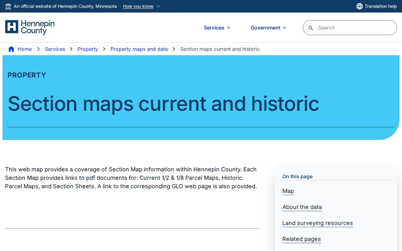
Section-map material can test parcel continuity and address placement after USPS has supplied the current delivery format.
Hennepin County ZIP Accuracy
Myth: a USPS ZIP result proves a person or company is at the address. It does not. USPS standardizes delivery information, while county property results describe a parcel and its taxpayer or owner fields. Those are different records with different purposes. Treat a ZIP code directory as a postal-reference layer and corroborate a specific fact with the office that maintains it.
Postal, parcel, and municipal records also change. A correct research note identifies the lookup date, the exact address form, the source, and whether a field is USPS, city, county, or recorded-title data. That practice reduces avoidable mix-ups in a county where many ZIPs and city names overlap.