
Hennepin County Previous Residents Sources
Past residents of one Hennepin County address leave records in different places and eras. The property record and deed index establish a legal parcel trail. Historical directories and phone books offer dated listings, usually for a household head. Census schedules can add other people in a dwelling. Permit cards and Sanborn maps speak to the building, not to who occupied it. Begin with the time period you need, then use the source that matches it rather than expecting one database to supply every answer.
| Source | Years it covers | Where held | What it shows |
|---|---|---|---|
| Recorder and RecordEASE | The county publishes no historic online start year; its recent-recording link is limited to five years | RecordEASE, Recorder research center, mail and copy services | Recorded transfers, liens, plats, certificates, document numbers, and legal descriptions |
| Minneapolis directories | 1859–1950 on the HCL page; later collection reporting reaches 1963 | HCL Digital Collections and Minneapolis Central | Listed names, addresses, spouse references, and occupations |
| Suburban directories | Edina 1941–1977, Hopkins 1942–1977, St. Louis Park 1933–1977 | HCL Digital Collections | Address and household clues for the named municipality |
| Minneapolis permits and cards | Cards 1884–1973; index records 1974–1989; building and wrecking permits 1884–present | HCL and Minneapolis Development Review | Construction, alteration, wrecking, and improvement dates |
| Sanborn maps and federal census | Sanborn maps 1867–1970; federal census public through 1950 | HCL, archives, and library databases | Building context and, separately, household composition |
An older address often needs several sources at once. The deed trail establishes continuity of the parcel, while the directory and census trail tests who was associated with it in a particular year. Note: A taxpayer mailing address is not proof that the taxpayer lived at the parcel.
Hennepin County Property Record Start
Use Hennepin County Property Information Search to begin with the current address, 13-digit PID, addition name, or interactive map. Preserve the situs address, PID, legal description, current owner or taxpayer fields, sale history, and Abstract or Torrens status if the result supplies them. The situs is the physical parcel address. A taxpayer mailing address is for tax correspondence and can be elsewhere, so label the two fields separately.
The legal description is the bridge to old land records. A street address can change, and a parcel can be split, combined, or replatted. Lot, block, addition, or metes-and-bounds wording can tie a current PID to an earlier deed. For Minneapolis addresses, the city property layer can add neighborhood, ward, valuation, permits, inspections, and parcel flags, but the county PID and legal description remain the title research keys.
HCL’s home and building research guide brings together the property, permit, directory, plat, and map sources used for a house history.
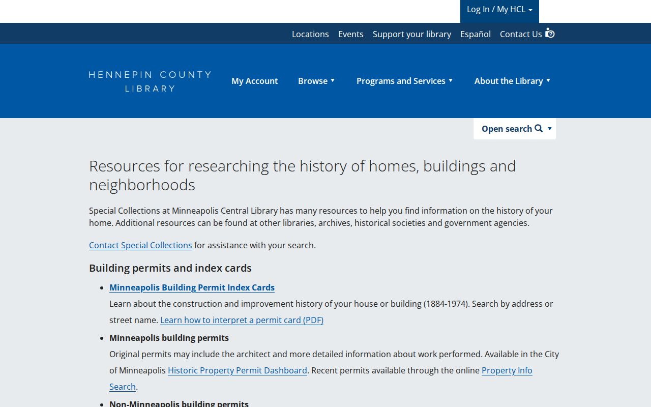
Those materials can show whether the physical structure matches the era of a directory listing before a household conclusion is drawn.
Hennepin County RecordEASE Record Limits
RecordEASE Public Search supplies limited, no-cost index access. RecordEASE Pro is account based and offers images, certificates, and plats for $2.50 per item, without a monthly search fee. The county does not publish a precise historic online start year, so do not treat a web result list as the full historical chain. The separate recent-recording-history link is only a five-year convenience feature and can be incomplete during recording-status or legal-description transitions.
Hennepin documents several alternatives to a web result. The Recorder research center is open weekdays from 8 a.m. to 4:30 p.m., excluding holidays. A property owner may ask for a free electronic deed or certificate copy by email. For document copies, the county lists noncertified mail copies at $1 per page and certified document copies at $10. Virtual Recorder and mail requests are separate channels, so retain the document number and type before ordering.
Hennepin’s land-title document information explains recorded-document and copy routes.
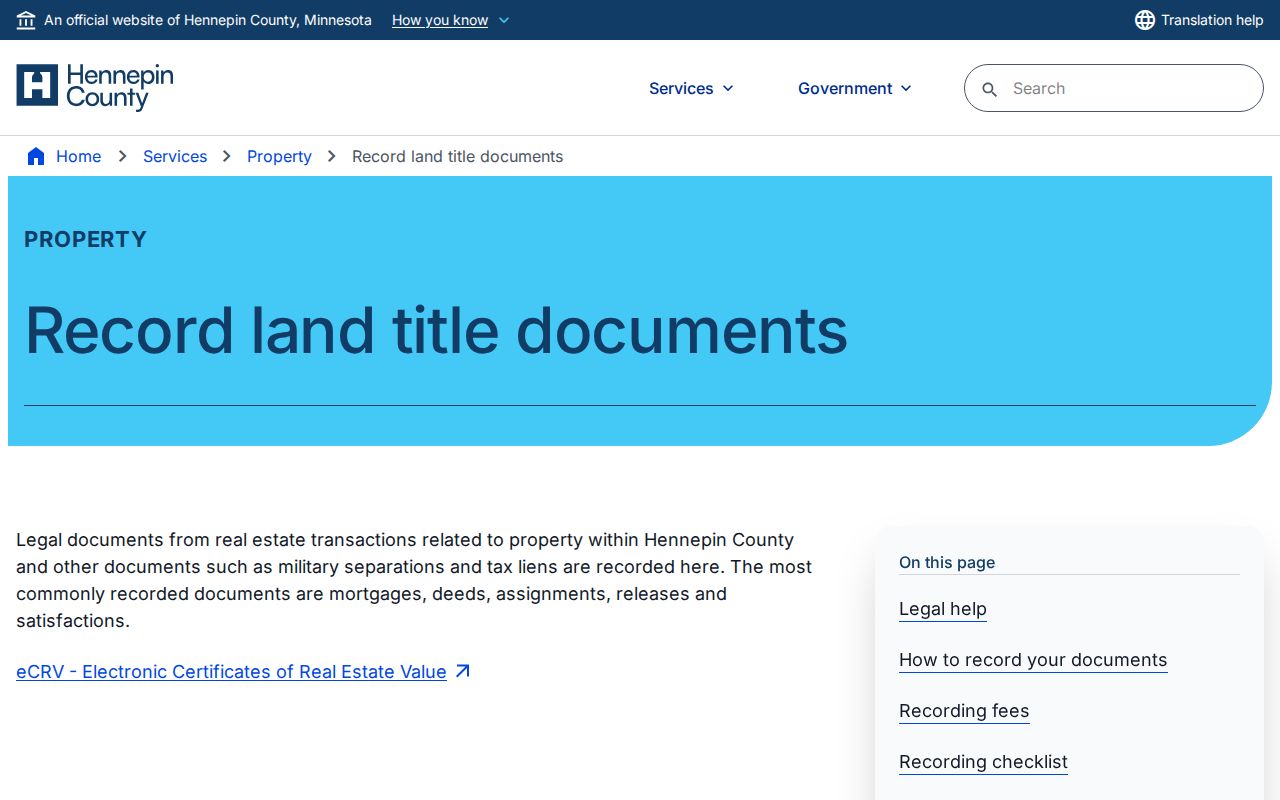
The counter, mail, and paid-image paths are important fallbacks when a limited public index does not expose the detail needed for an earlier transfer.
Hennepin County Deed Chain
A chain of title is the sequence of recorded transfers for the same legal parcel. Work backward, one conveyance at a time. Find the current owner as the grantee on the latest purchase record. That document identifies the seller, who is the grantor for that transfer. Next, search that seller as an earlier grantee to find the deed by which the seller acquired the property. Alternating those roles preserves the direction of the trail and avoids mistaking a later sale for the earlier purchase.
- From the property result, save the PID, legal description, current owner field, situs address, and the latest sale or recording clue.
- Search the current owner and legal description in RecordEASE, then open or request the latest purchase deed or index record.
- Record the grantor, grantee, recording date, document number, instrument type, and legal description exactly as returned.
- Search the seller, now the earlier grantee, using the same legal description and date context to find the preceding purchase.
- Repeat backward. When a plat, division, combination, or changed metes-and-bounds description appears, locate the predecessor parcel before continuing.
- Grantor
- The party transferring an interest in a recorded instrument, commonly the seller in a deed.
- Grantee
- The party receiving that interest, commonly the buyer in a deed.
- Chain of title
- The documented sequence of transfers and related land instruments for the same parcel.
- Legal description
- The lot, block, addition, metes-and-bounds, or other formal parcel wording used to keep land records connected when a street address changes.
Keep a deed-chain log in chronological order. The document number, recording date, party roles, and unchanged or changed legal description are the facts that let an earlier link be checked later.
Hennepin County Address Continuity
Past residents research breaks when a street number is treated as permanent. The official research did not locate a verified countywide renumbering year or one universal readdressing event. Minneapolis has directional street conventions, while suburban Hennepin cities use their own grids and postal names. A present address may therefore point to an older street name, another municipal directory, a replatted lot, or a replacement structure.
Use the legal description and PID first, then compare plats, historic and current section maps, old tax material, permit cards, and directory headings. Hennepin’s historic/current section-map resources can connect current parcel maps, historic maps, section sheets, and GLO materials. The map is reference material, not a legal survey. Where a lot division or street change appears, document the old and new address forms rather than forcing every record into the current address.
That distinction matters for previous residents. A valid name at an old number may belong to the predecessor building or a different part of a divided lot. A map and permit date provide the check before a directory listing is linked to today’s structure.
Hennepin County Permit and Sanborn
Permit cards give a Minneapolis house a dated physical history. The city’s cards cover 1884–1973, permit index records cover 1974–1989, and building and wrecking permits reach from 1884 to the present. HCL holds original cards and searchable digitized cards, while Minneapolis Development Review provides kiosk access. A card can identify construction, remodeling, demolition, or a named architect or contractor, but it is not itself a list of residents.
Sanborn fire-insurance maps add the building check. HCL’s Digital Sanborn Maps cover Minnesota cities and counties from 1867–1970. A sheet can show footprint, stories, material, lot lines, nearby structures, hydrants, water or sewer context, and sometimes use. It does not identify an occupant. Pair the map edition with the nearest directory and census year, and do not assume a 1900 address represents the same building shown at that address in 1950.
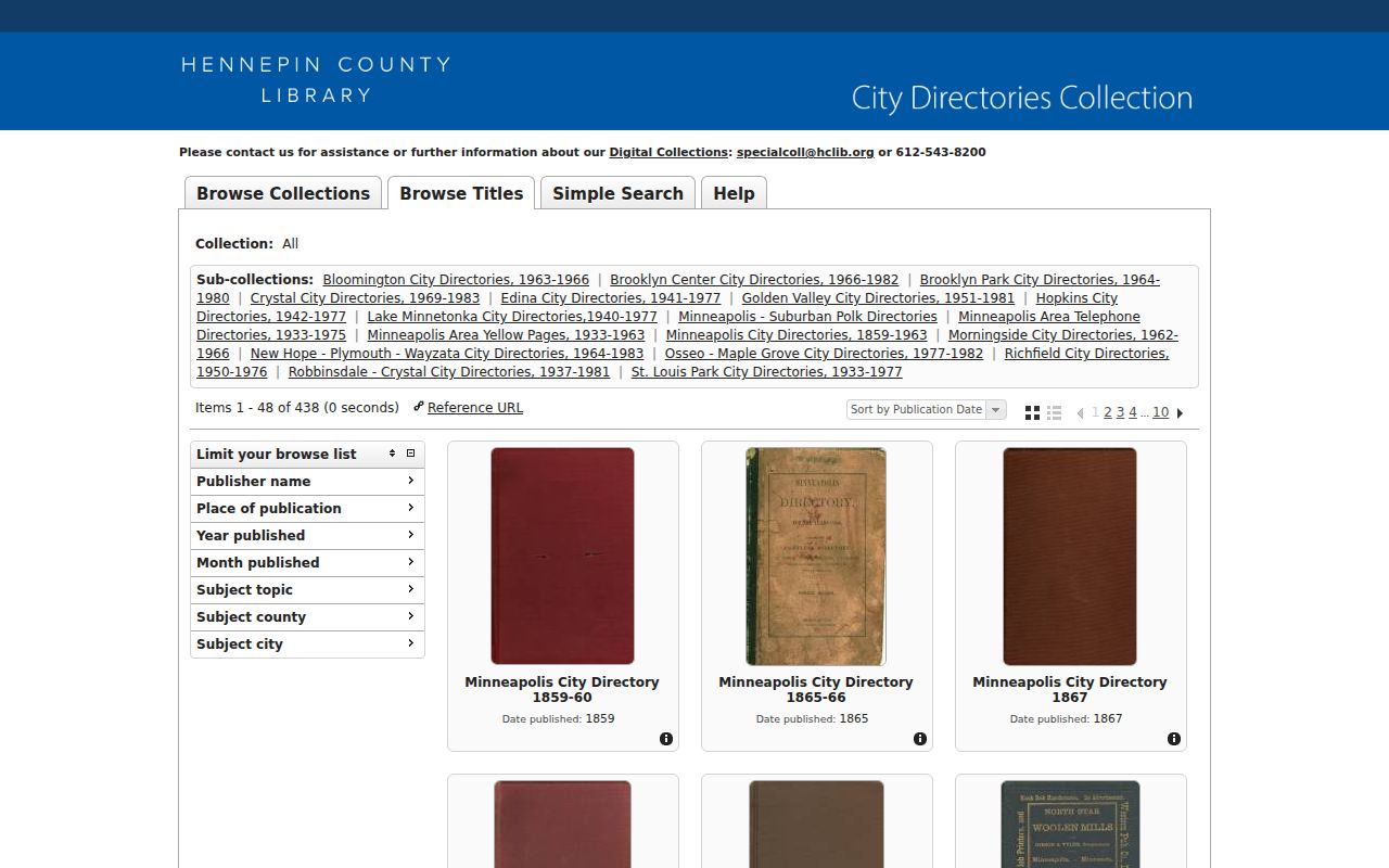
HCL’s digital collection browser is a direct route to local directories, phone books, permit materials, photographs, and Sanborn-related resources.
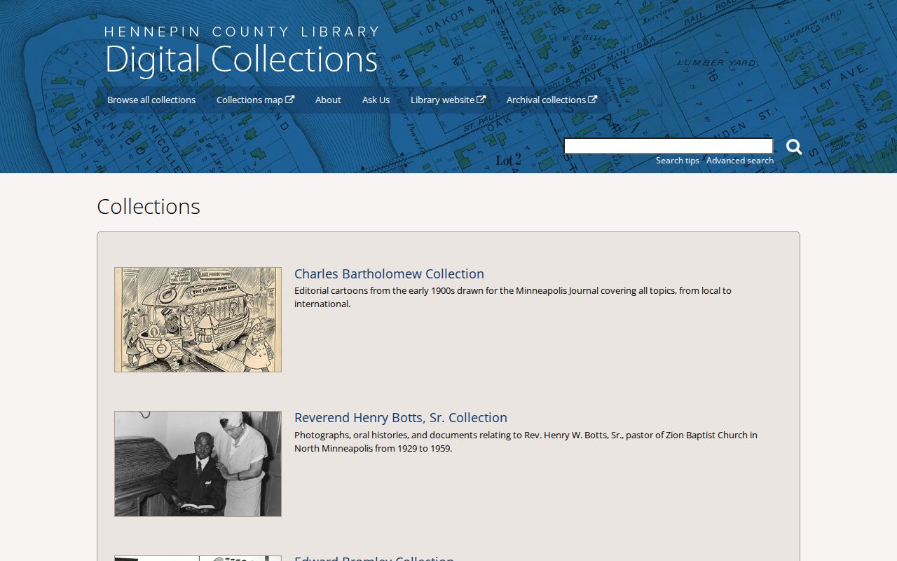
Building evidence helps determine whether a household listing belongs to the same structure or merely the same modern street number.
Hennepin County Past Household Trail
Deeds identify land interests, not every person who lived in a building. For the household layer, use historic city directories, phone books, and reverse address searching. HCL’s collection supports name and address searching, but exact OCR matching means an address should be tested with street abbreviations, directional variants, old street names, and pages on either side of a result. Directory entries generally list the head of household, so a no-hit for another person is not proof they were absent.
Minnesota Historical Society’s city-directory search service can search one name or business in up to five years when the physical or digital shelf is not available. The stated price is $20, including a $5 nonrefundable processing component, with usual turnaround of three to four weeks. Use it as a targeted fallback and retain the returned page or no-hit result with the address timeline.
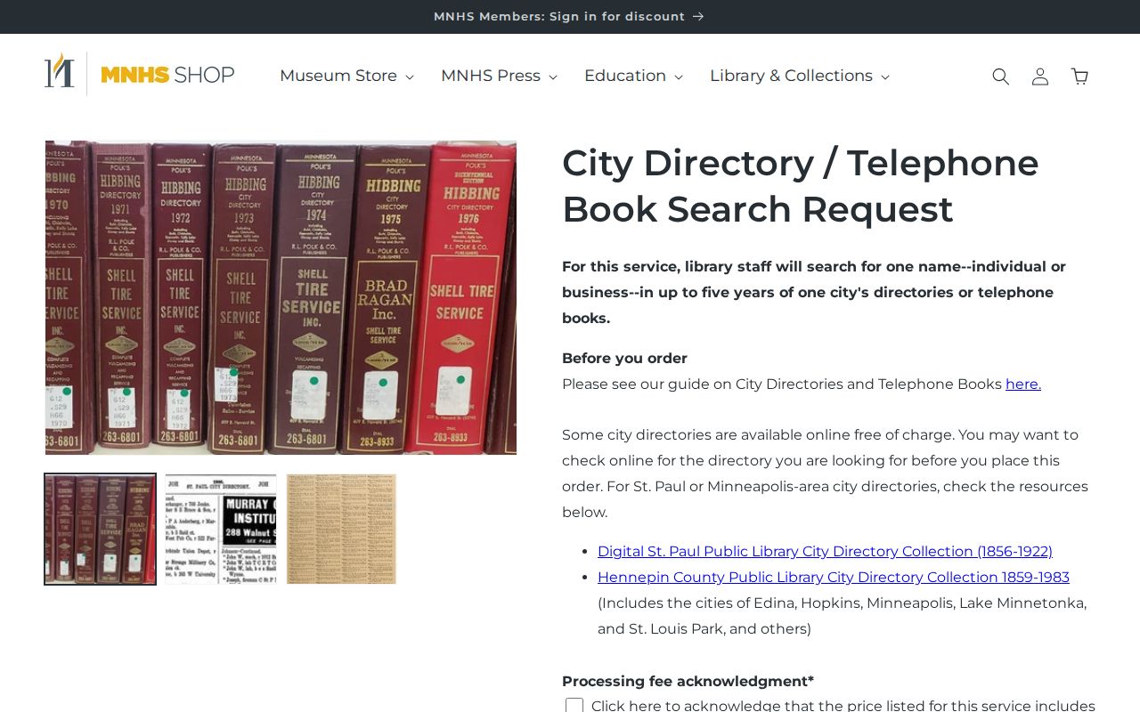
A year-specific directory response is more useful than a broad claim that an address was continuously occupied by one family.
The historical collections themselves are described in greater detail in the Hennepin County city directory collections. Use them here as one dated layer in the address trail, alongside property, title, and building records.
Hennepin County Census Record Pairing
Pair directories with the public federal census years 1870, 1880, 1900, 1910, 1920, 1930, 1940, and 1950. Federal census releases follow the 72-year rule, so the current public schedule ends with 1950. A census can identify children, boarders, ages, birthplace, and relationships that a directory’s household-head format leaves out. State census material for 1865, 1875, 1885, 1895, and 1905 adds useful interval clues through Minnesota Historical Society and library resources.
- Choose the directory year closest to the census year and write down the exact address, city or town, and listed household name.
- Check whether the address, street name, and municipal designation match the census geography, allowing for a renamed street or changed number.
- Compare the directory’s listed person with the people in the census household, recording age, relationship, birthplace, and occupation as separate dated facts.
- Return to the next directory year to test whether a move, death, or building change explains a difference.
This pairing prevents a common error: turning a single directory listing into a claim about every person who lived there. A census is a household snapshot for its date, and a city directory is a different kind of publication with different inclusion rules.
Hennepin County Estate Record Trail
When the household trail ends, an obituary can help distinguish a move from a death. HCL clipping files, Minnesota Historical Society, and Hennepin History Museum newspaper access can supply historical notices. Follow an obituary with an official death record or a court file where verification is needed. Probate may identify a decedent, personal representative, heirs, inventories, distributions, and address relationships, while private attachments can remain unavailable.
Search the Hennepin District Court Probate and Trust category through MCRO, then request court records through the Hennepin Records Center when a file is needed. A death record, obituary, and probate document do not carry the same purpose or access rules, so cite them separately. This approach also avoids assuming that a property transfer alone marks a death or a family relationship.
HCL’s collection browser provides another entry point for local-history materials that can support a dated address trail.
Use each archive result to support a specific date, person, building, or record event rather than to make a present-day inference.